Guide: Configuring Map Settings via URL Parameters
Map Settings Overview
You can customize your map experience by adjusting settings directly in the URL. Here’s a quick guide to the available parameters:
center
Defines the map center using WGS84 coordinates (latitude, longitude).
Example: ?center=52.31801546937824,9.803534426718189
Default
With parameter
centerxy
Sets the map center using projected coordinates (x, y).
Example: ?centerxy=6517.28955078125,3826.6064453125
Default
With parameter
z
Specifies the floor/level name.
Example: ?z=2
Default
With parameter
bearing
Rotates the kiosk arrow icon (0–360 degrees).
Currently works only in kiosk mode.
Example: ?bearing=180
Default
With parameter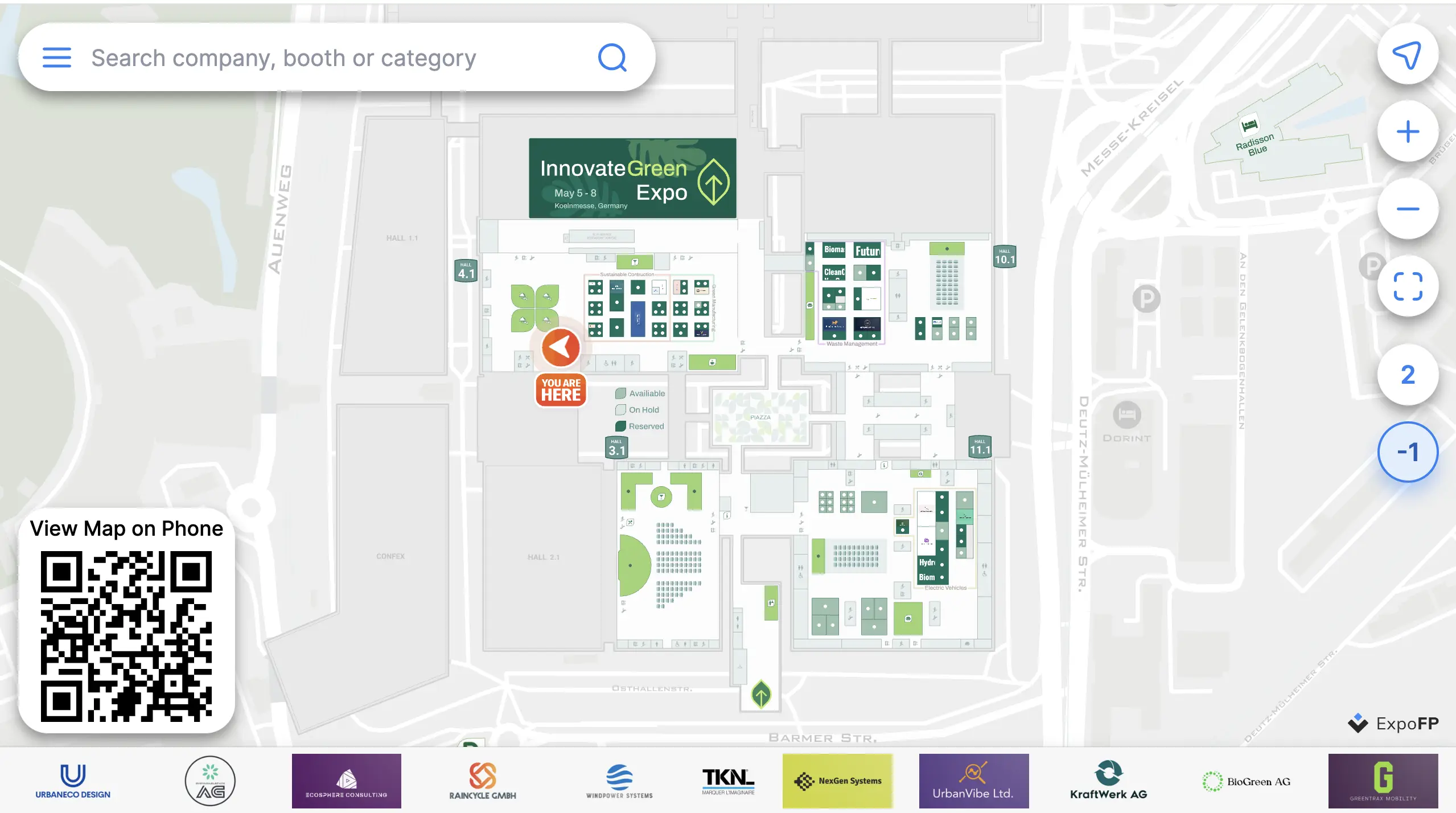
zoom
Adjusts the zoom level (1–100).
Example: ?zoom=5
Default
With parameter
zoomtime
Sets the zoom animation duration in milliseconds (range: 500–5000).
Example: ?zoomtime=5000
?zoomtime=500
?zoomtime=5000
How to Reset Settings?
INFO
Important Note: Settings are applied only to the specific map they are sent to and only on the device where they are applied.
Settings do not accumulate — each time new settings are sent, they overwrite the previous ones.
Example:
If you open a card with ?bearing=45 and later open it again with ?zoom=5, the bearing=45 setting will not be applied — only zoom=5 will take effect. In other words, if you need both settings, you must include them in the same request: ?bearing=45&zoom=5.
To cancel a previously applied setting (e.g., zoom=5), you can set a new value (e.g., zoom=1).
Also, check out the full documentation.